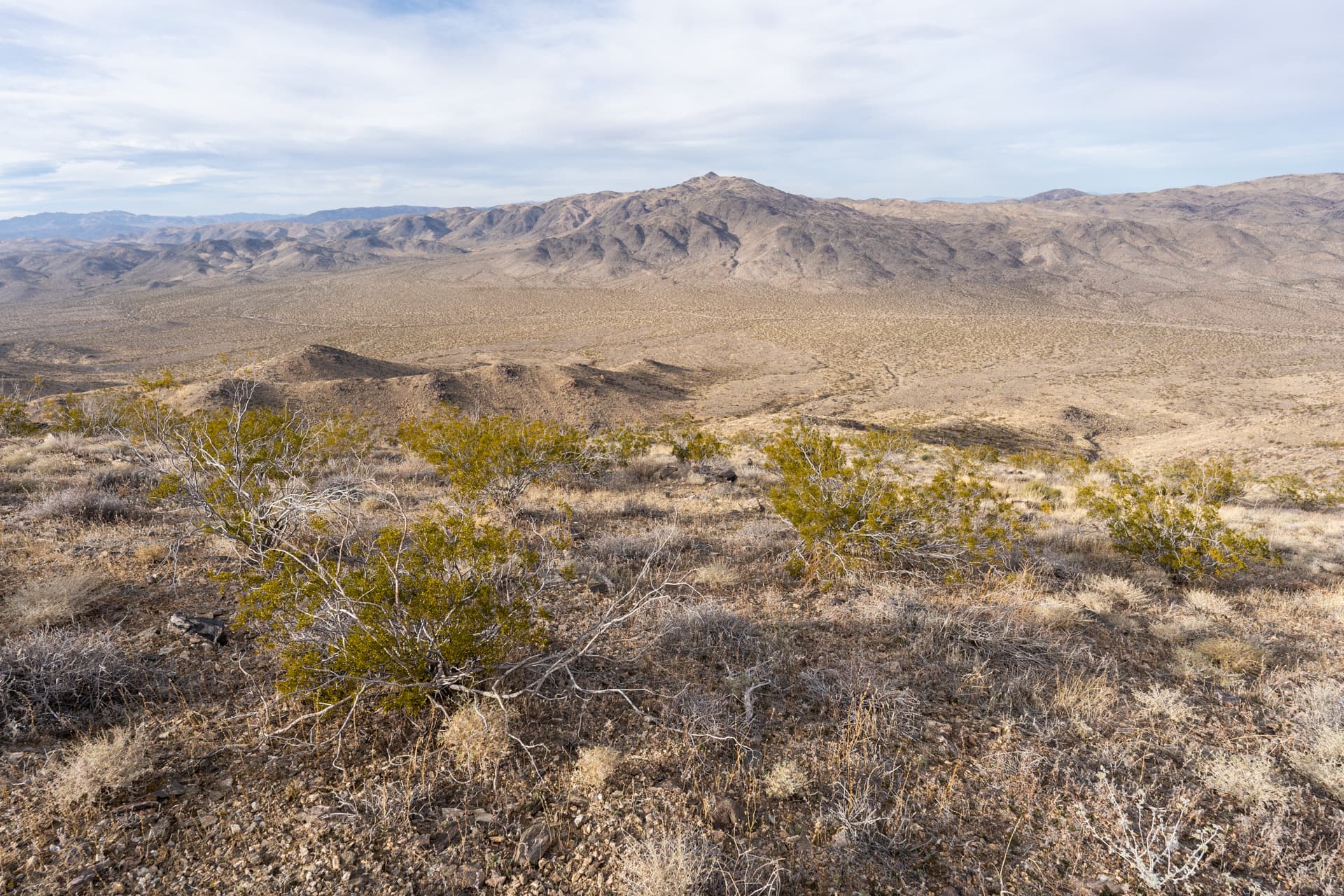
Orocopia Mountains High Point
Orocopia Mountains Wilderness, CAInfo
Distance5.3 mi
Elevation gain1,700 ft
Route typeOut & back
Duration2 hr
CruxClass 1
Quality4/10
Peaks bagged
1
Orocopia Mountains High Point(DPS, Zdon, CaWHP)3,815 ft / Prom. 2,095 ft
DPS. Desert Peaks SectionZdon. Andy Zdon's Desert SummitsCaWHP. California Wilderness High Points
Report


Nearby trips