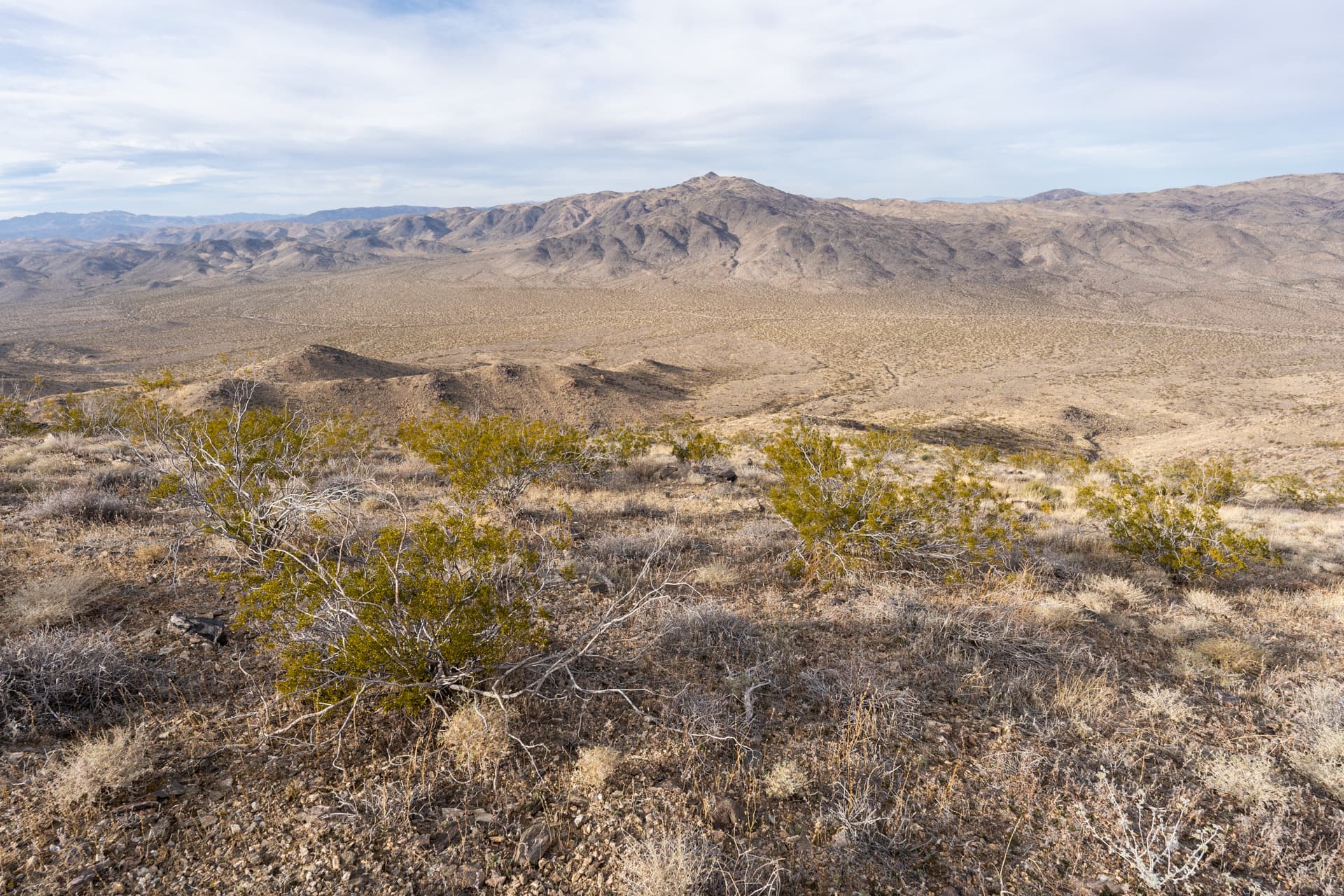
Starting along the Mastodon Mine Loop Trail from Cottonwood Campground.A sign marking the official trail.Entering a series of washes.View back.Approaching Mastodon Peak.Mastoson Mine.The trail continues up the staircase on the right.Taking a hard left onto an unmaintained trail leading to Mastodon Peak's summit.Class 2.Mastodon Peak summit. View west.View east toward Eagle Mountain.Back on Mastodon Mine Loop Trail.Cool split rock formation on the right.Approaching the fork with Lost Palms Oasis Trail.Turning left onto Lost Palms Oasis Trail, headed east.Descending into a wash.The trial undulates across several arroyos.End of the official trail.Descending a use trail toward Lost Palm Oasis.Lost Palms Oasis.Continuing down the canyon, passing a dozen or so scattered palms labeled "Victory Palms" on the topo.Steep descent through massive boulders to the lower reaches of Lost Palm Canyon.Lower terminus of Munsen Canyon on the left.Starting up Munsen Canyon.Approaching Summit Springs Palm Oasis.Passing through the palms.A short distance away, Munsen Oasis.View back at Munsen Oasis.Farther up the canyon, passing a goliathan boulder. Staying high on the right side of the canyon to avoid brush below.An unnamed oasis.After the oasis, veering right to exit Munsen Canyon.The route climbs this chute.Class 3.Approaching a second unnamed palm oasis.Brushy. After a failed attempt at bushwhacking, I bailed and traversed the crumbly slopes on the right.Entering a wide canyon.View back.At the base of the Class 3 exit chute.View back from the exit chute.Tricky slabby section.Above the chute, the terrain opens up.Following a wash.Aiming for the saddle, left of center.At the saddle, view back.Gaining the ridge to Eagle Mountain.Eagle Mountain ahead.View back from below the summit of Eagle Mountain.Almost at the summit.Eagle Mountain summit, occupied by a group of friendly Sierra Club hikers.View east.View north.View southwest.Starting the descent along the northwest ridge.I followed the group for a while. It was nice to take a break from route finding.At this plateau, I split off from the group and headed to the saddle visible center-left.Cool slabby terrain.Starting down the descent gully.View back up the descent gully.Exiting the descent gully.Hiking through the desert on the way back to the campground.Some pockets of lush vegetation.View back toward Eagle Mountain.I gravitated toward a number of small, westward flowing washes.Eventually, I intersected an old road which took me back to the campground.