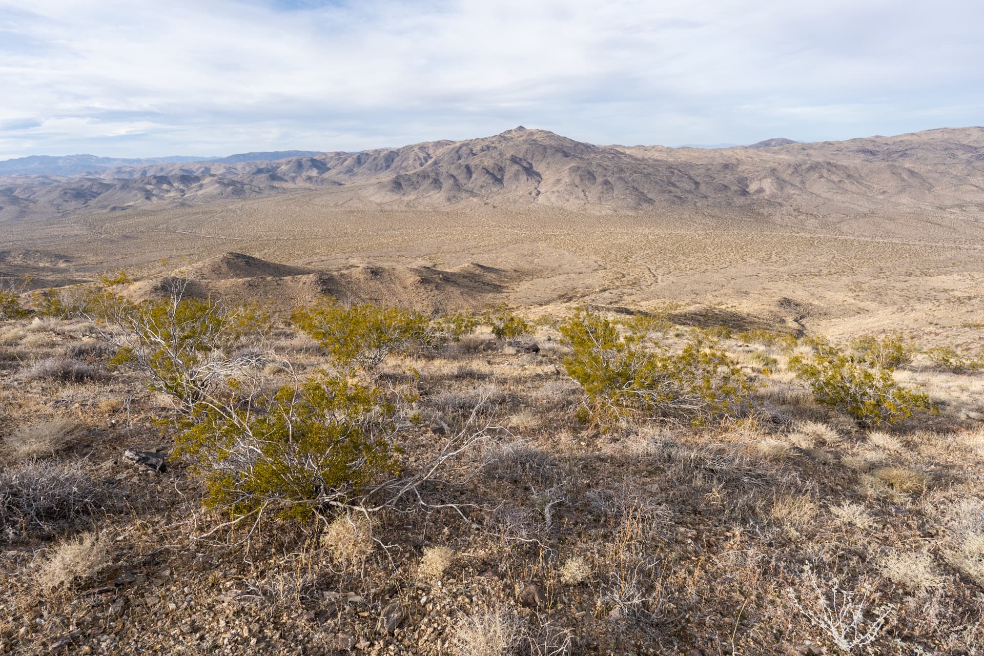
From Pinto Basin Sand Dunes Trailhead, starting the 2-mile walk through the open desert to the base of Pinto Mountain. A small, sand covered ridge can be seen about a mile away.On top of the ridge. From here the route descents about 100 feet, crossing a dry creek bed.A "coyote melon" gourd growing inside the dry creek bed.Aiming for a large drainage, seen here on the right.Compacted gravel at the edge of an alluvial fan fed by the drainage.Crossing the drainage en route to the ascent ridge, ahead.A use-trail appears at the base of the ridge.Class 2 section shortly after gaining the ridge.Looking back down the drainage.The use-trail clings to the right side of the ridge, avoiding trickier terrain along the crest.Pinto Mountain's summit comes into view. The use-trail can be seen cutting across the slope on the right.View down a colorful, easternly drainage.Passing through an ocotillo patch.Brilliant rock layers.The use-trail contours around several bumps along the ridge.Looking back.Approaching a steep section.Final push.View toward the western half of Joshua Tree National Park.Topping out on Pinto Mountain's flat summit.Rock cairn at Pinto Mountain's summit. View northeast.View south.