Monument Mountain and Cottonwood Mountains High Point

Joshua Tree National Park, CA

Info

Distance9.7 mi
Elevation gain3,200 ft
Route typeOut & back
Duration4 hr
CruxClass 2
Quality5/10

Peaks bagged

1
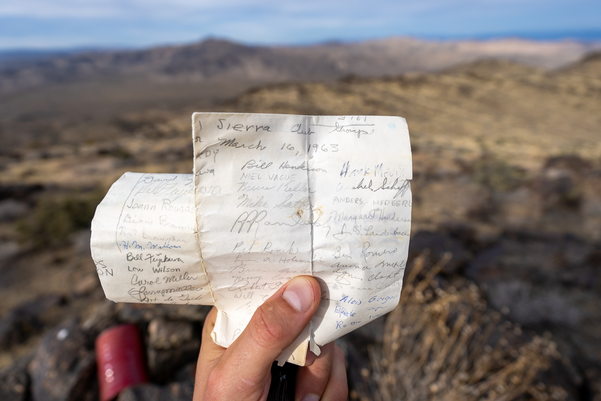
Monument Mountain(LPC, Zdon)4,834 ft / Prom. 1,114 ft

2
Cottonwood Mountains High Point4,493 ft / Prom. 1,153 ft

LPC. Lower Peaks CommitteeZdon. Andy Zdon's Desert Summits

Report

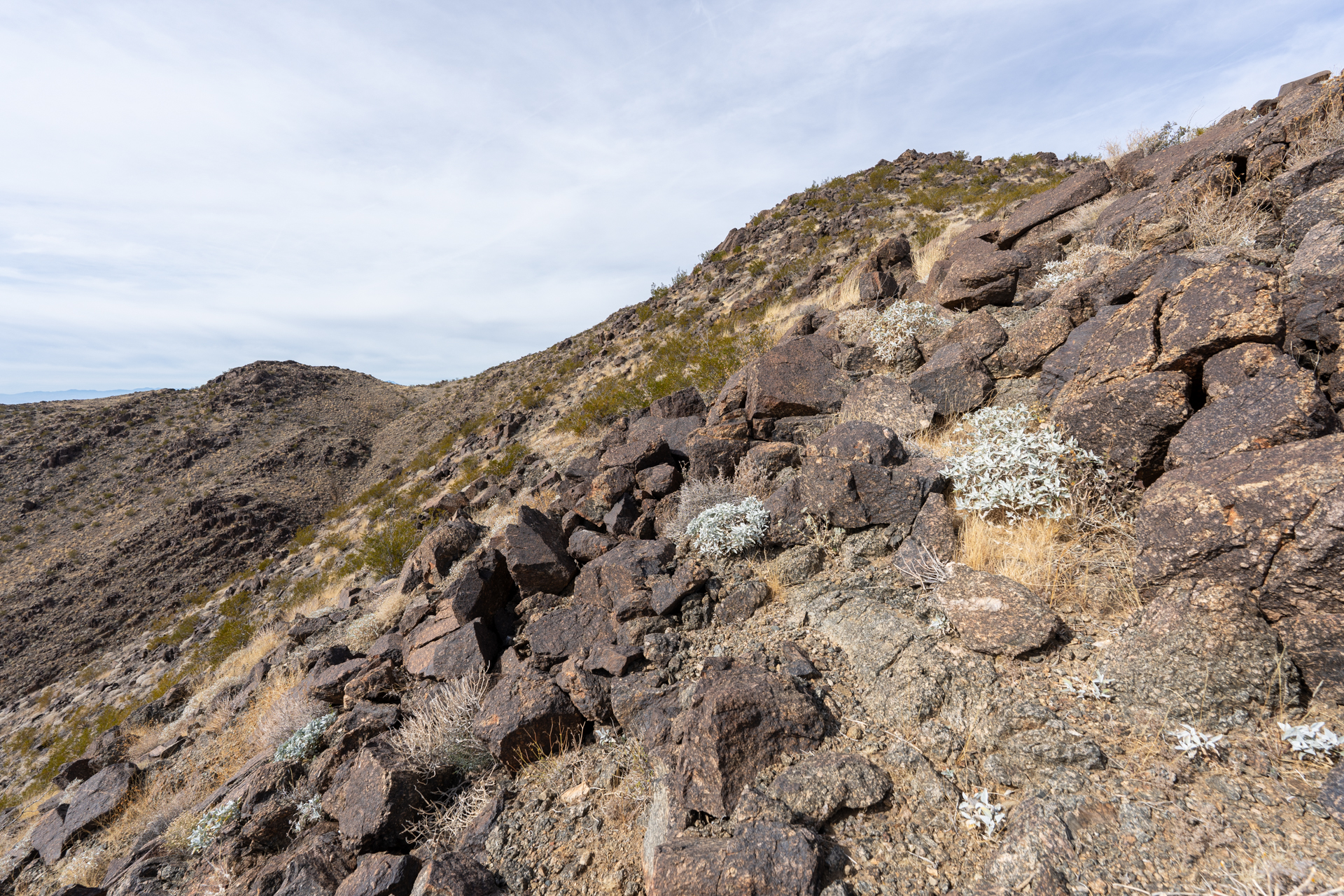
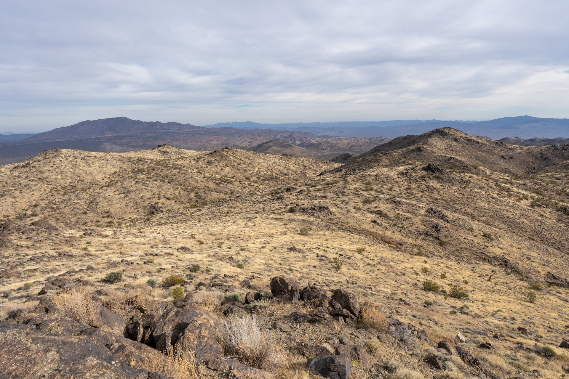
From from the Cottonwood Visitor Center, I drove 4.7 miles down Pinkman Canyon Road before parking at a small pullout. My route was a double out-and-back, first hitting Monument Mountain to the north followed by Cottonwood Mountains High Point to the south. Both legs consist of a short approach through the desert to any spur ridge of choice. Once on the main ridge, it's a mellow, undulating walk to the summit.

From Pinkman Canyon Road, heading north toward Monument Mountain.
Starting up a southern spur of Monument Mountain.
View back toward Cottonwood Mountains.
Gaining the Monument Mountain's main ridge. A faint use-trail appears.
Looking back.
A steep section ahead.
Some low Class 2.
A long, flat stretch of ridgeline.
Monument Mountain visible right of center.
Approaching a saddle to the east of Monument Mountain.
Class 2 on Monument Mountain's eastern slope.
Monument Mountain summit. View west.
Closeup of the terrain to the west. San Jacinto Peak is visible in the distance, left.
View southeast. Eagle Mountain is on the left.
View northeast toward Pinto Mountain.
Retracing my steps toward Pinkman Canyon Road.
Crossing the Pinkman Canyon Road, headed south toward Cottonwood Mountains High Point.
Meandering through the open desert. A bit more vegetated here than on the north side of the road.
Picking out a northern spur of Cottonwood Mountains High Point.
Starting up the spur.
Nearing the main ridge.
On top of the main ridge, heading toward a false summit, visible right of center.
False summit on the left.
View back toward Monument Mountain.
On top of the false summit, Cottonwood Mountains High Point comes into view on the right. The route contours the prominence on the left toward the saddle, center.
From the saddle, remaining ridgeline to Cottonwood Mountains High Point.
Cottonwood Mountains High Point summit. View southwest.
View north toward Monument Mountain.
View east. Eagle Mountain is on the left.
Register dating back to 1978.
Some older signatures on loose paper from 1963!
Descending the spur on the way back to the car, enjoying the late afternoon light.

Nearby trips

Pinto Mountain
Pinto Mountain
8.4 mi2,700 ft4 hr