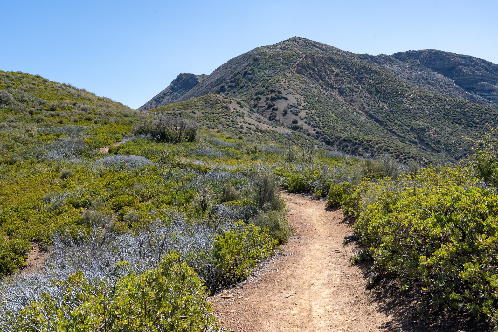
Thorn Point

Sespe Wilderness, CA

Info

Distance10.7 mi
Elevation gain2,300 ft
Route typeOut & back
Duration3.5 hr
CruxClass 1
Quality7/10

Peaks bagged

1
Thorn Point(HPS, HPS★)6,920 ft / Prom. 560 ft

HPS. Hundred Peaks SectionHPS★. Hundred Peaks Section Star Peaks

Report

Forest Route 7N03B was closed due to extensive washout damage, adding about 1.5 miles each way.
Easy road walk.
Washed out section at the Cedar Creek Trailhead.
Arriving at the official trailhead at Thorn Meadows Campground.
The trail leads up this drainage.
Cliffs closing in at the terminus of the drainage. Shortly, the trail veers right and steepens as it gains Thorn Point's north ridge.
The air warmed significantly as I climbed out of the drainage.
One of many switchbacks.
A short detour along this rocky spur at 6,100 feet affords great views of some steep cliffs on Thorn Point's north slopes.
Turning around to rejoin the trail, which continues up and to the left.
Thorn Point comes into view on the right. If you look closely you can see the lookout tower at it's pinnacle.
A small plateau.
The trail climbs a couple gentle switchback to the saddle below Thorn Point.
At a saddle, looking toward Thorn Point.
Climbing the east slope of Thorn Point. Some large boulders here.
Looking back.
First clear view of the lookout. The trail leads left.
An abandoned shed just below the lookout.
Inside the shed.
Thorn Point Lookout.
The top of the lookout can be accessed via a couple steep staircases.
Inside the lookout. Caretakers keep it in good shape.
Several registers are located in the cupboard above the desk.
From the lookout, view west.
View south.

Nearby trips