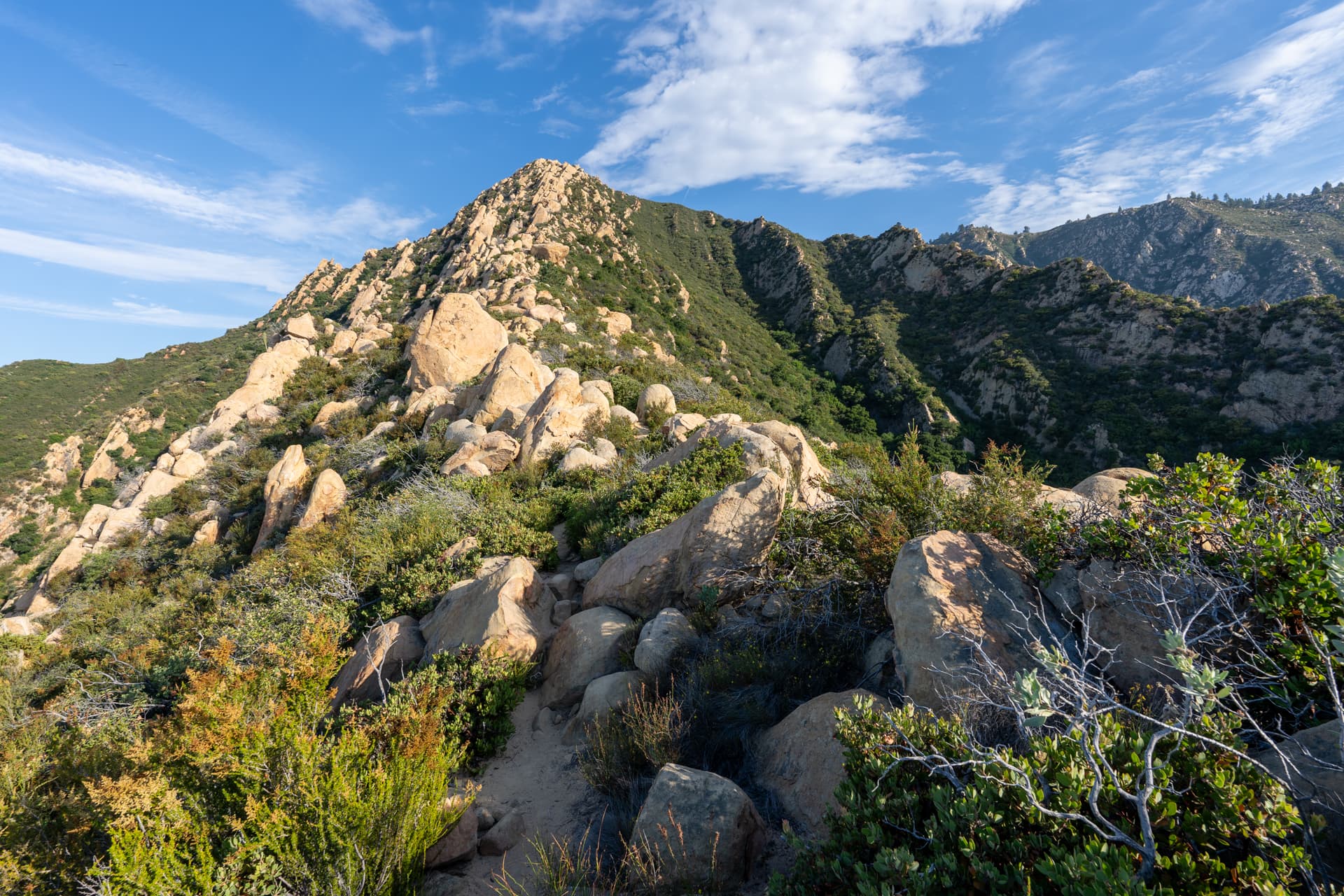
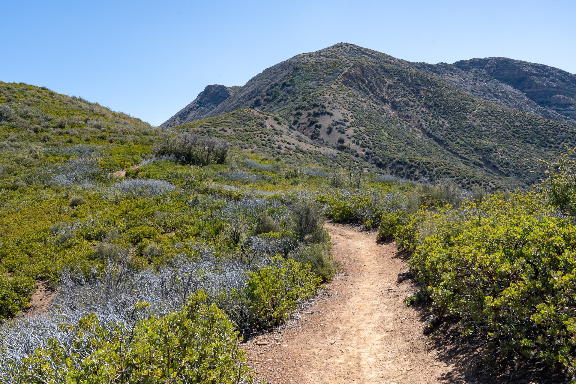
Montecito Peak

Los Padres National Forest, CA

Info

Distance7.8 mi
Elevation gain2,500 ft
Route typeOut & back
Duration3 hr
CruxClass 1
Quality4/10

Peaks bagged

1
Montecito Peak(LPC)3,214 ft / Prom. 339 ft

LPC. Lower Peaks Committee

Report

Starting off on East Fork Cold Spring Trail.
Junction with West Fork Cold Spring Trail. Stay right.
Following the creek.
Gaining some elevation via a set of switchbacks.
The trail crosses the creek at this waterfall. You can see a group of hikers on the other side.
Creek crossing. Only a modest flow of water on this late-summer day.
Continuing along the west side of the creek.
A second creek crossing at this popular rest area.
Looking back as I ascend the east side of the creek.
Arriving at the junction with Ridge Trail. Take a hard-left to stay on the East Fork Cold Spring Trail.
The trail merges with this service road for about 100 yards.
Back on the trail, circumventing a prominence counterclockwise.
View back toward Santa Barbara. Much of the route is visible from here.
Entering the fog.
Wrapping around the west side of Montecito Peak.
A use-trail branches off Cold Spring Trail to the right and leads directly up the north ridge of Montecito Peak.
Montecito Peak, barely visible through the fog.
Steep and heavily eroded.
Montecito Peak summit, facing north.
The rest of the summit area to the south.

Nearby trips