Cathedral Peak and La Cumbre Peak Loop

Los Padres National Forest, CA

Info

Distance10 mi
Elevation gain3,900 ft
Route typeLoop
Duration5 hr
CruxClass 2
Quality6/10

Peaks bagged

1
Arlington Peak3,250 ft / Prom. 70 ft

2
Cathedral Peak(LPC)3,333 ft / Prom. 383 ft

3
La Cumbre Peak3,985 ft / Prom. 1,010 ft

4
Mission Ridge2,600 ft

LPC. Lower Peaks Committee

Report

Due to limited parking, I walked some extra mileage along Tunnel Road to Inspiration Point Trailhead.
Fellow hikers converging on the trail.
From Tunnel Trail, the ridge route to Arlington Peak comes into view.
Stay left at this information sign to continue along Tunnel Trail.
Start of Inspiration Point Trail to the left.
Mission Creek crossing. The popular Seven Falls Trail follows the creek upstream to a series of waterfalls. The trail to Arlington Peak is to the left.
Gaining the ridge.
Known locally as the "Dragon's Back", the route snakes around these vertebre-like boudlers.
Looking back.
Some minor brush to contend with.
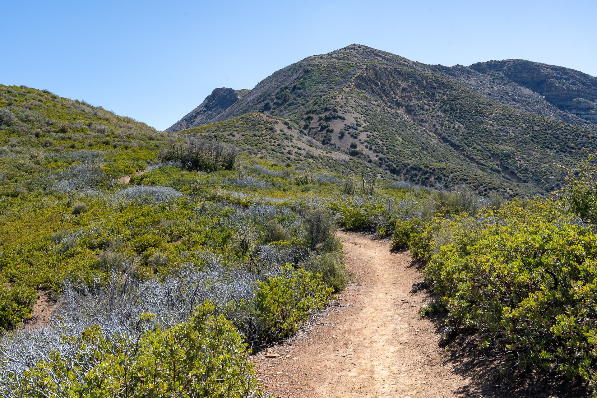
La Cumbre Peak visible to the right.
Looking back at a flatter section along the ridge.
Sustained class 2 climbing on the latter half of the ridge.
Taking a short break to enjoy the views.
Nearing Arlington Peak.
Arlington Peak summit block.
Arlington Peak summit. View south. The Channel Islands are off on the horizon.
View southeast. The entire ascent ridge is visible from here.
View north toward Cathedral Peak and La Cumbre Peak.
Following a use-trail toward Cathedral Peak.
Looking back at Arlington Peak.
Getting close to Cathedral Peak. The routes climbs the gentler north side of the peak.
Class 2 on Cathedral Peak's north side.
Cathedral Peak summit. View south toward Arlington Peak.
View northwest.
View north toward La Cumbre Peak. The route traverses the ridge below, passing the large pinnacle on the left before descending the northern slopes.
On the traverse, I stayed to the left of these features.
Approaching the saddle between Cathedral Peak and La Cumbre Peak.
The route climbs the ridge ahead.
Looking back at Cathedral Peak.
Making my way up the steep south slope of La Cumbre Peak. The trail is hard to follow at times.
Another look back.
Near the top, the grade lessens.
The trail joins with this road, which I followed the rest of the way to the summit.
La Cumbre Peak summit. View south.
Continuing east, past this fire lookout.
A trail descends La Cumbre Peak's east ridge.
Looking back at La Cumbre Peak.
Eventually, the trail joined with East Camino Cielo Road.
Following the road for about 0.8 miles. White Mountain is in the distance.
Approaching Angostura Pass, the northern terminus of the Tunnel Trail.
Back on the Tunnel Trail.
Convoluted yield sign.
From the trail, view of the Dragon's Back route.
Some interesting rock formations to the south of White Mountain, an area referred to as the "Rock Garden".
View down Mission Creek toward Santa Barbara.
Mission Ridge ahead.
Turning left onto Mission Crags Trail.
Following the ridge for 200 vertical feet.
Mission Ridge summit. View west toward Cathedral Peak and La Cumbre Peak.
View north toward White Mountain.
Back on Tunnel Trail to complete the loop.
Great views from the multiple switchbacks along the way.

Nearby trips

Montecito Peak
Montecito Peak
7.8 mi2,500 ft3 hr
San Guillermo Mountain
2.4 mi900 ft1 hr