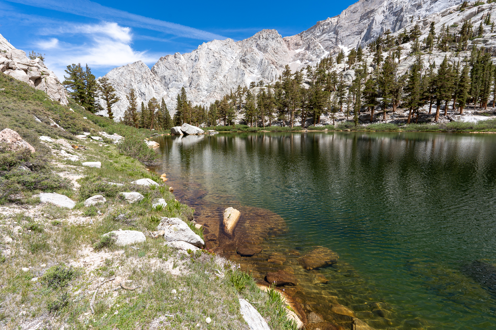
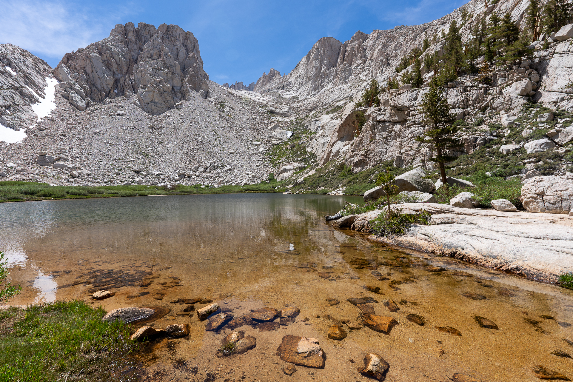
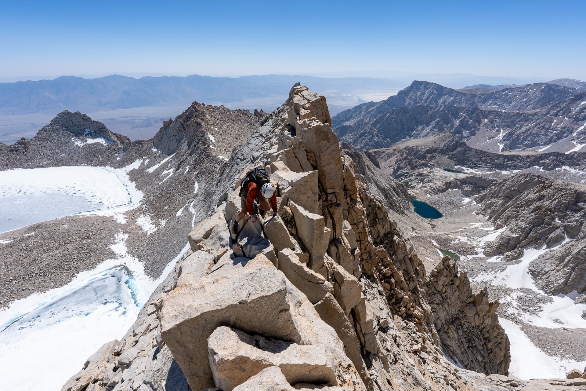
Thor Peak Loop
Jun 18, 2024John Muir Wilderness (USFS), CA
Info
Distance8.6 mi
Elevation gain4,100 ft
Duration5.5 hr
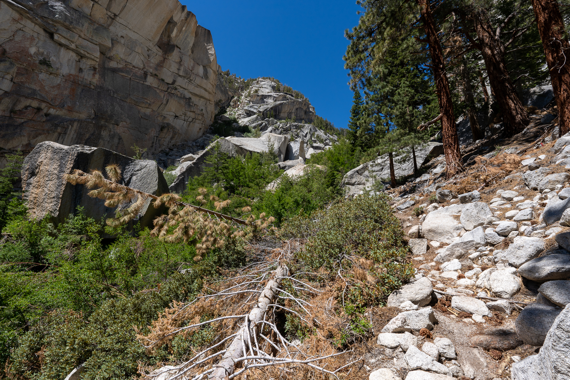
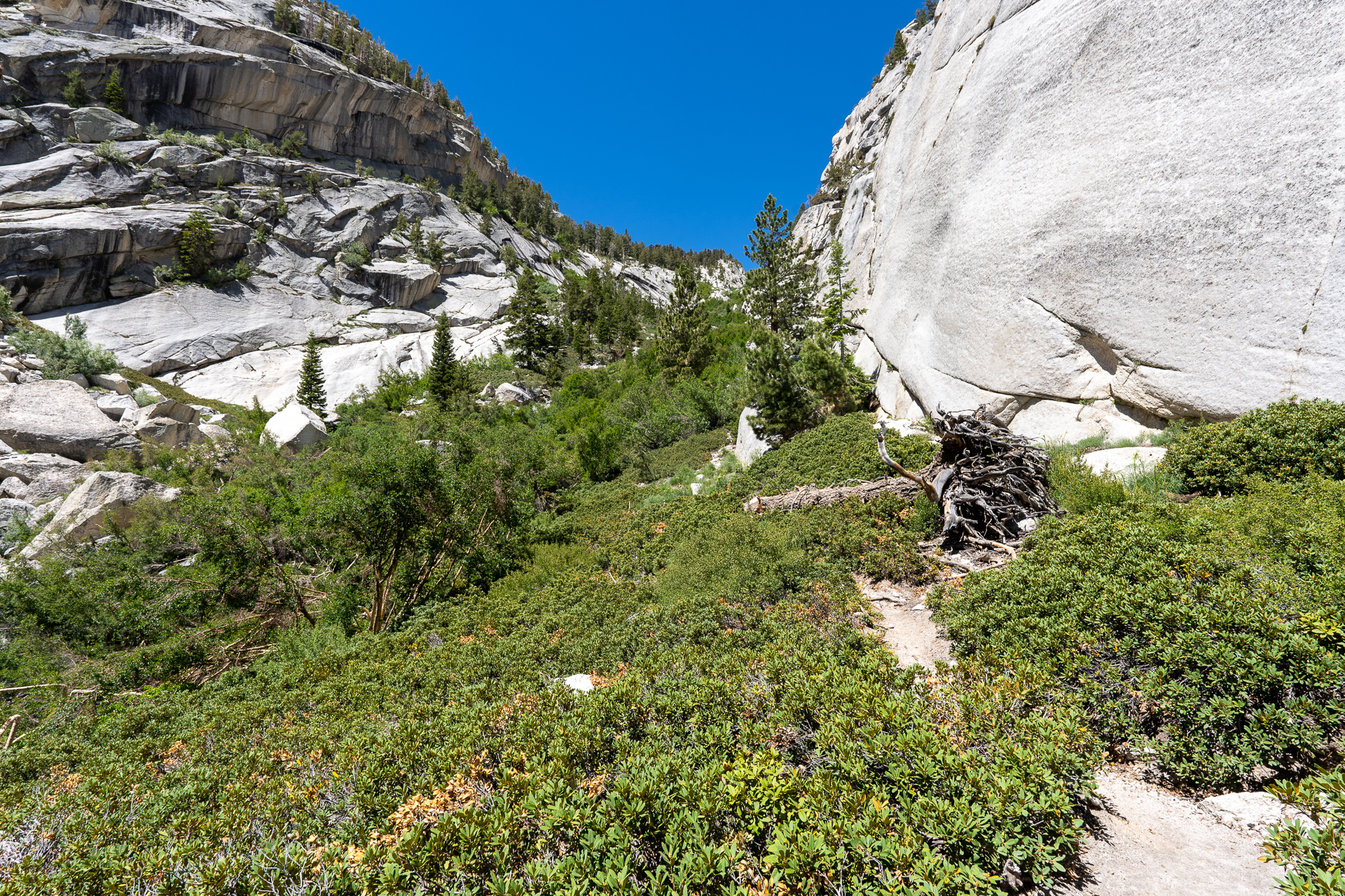
CruxClass 2
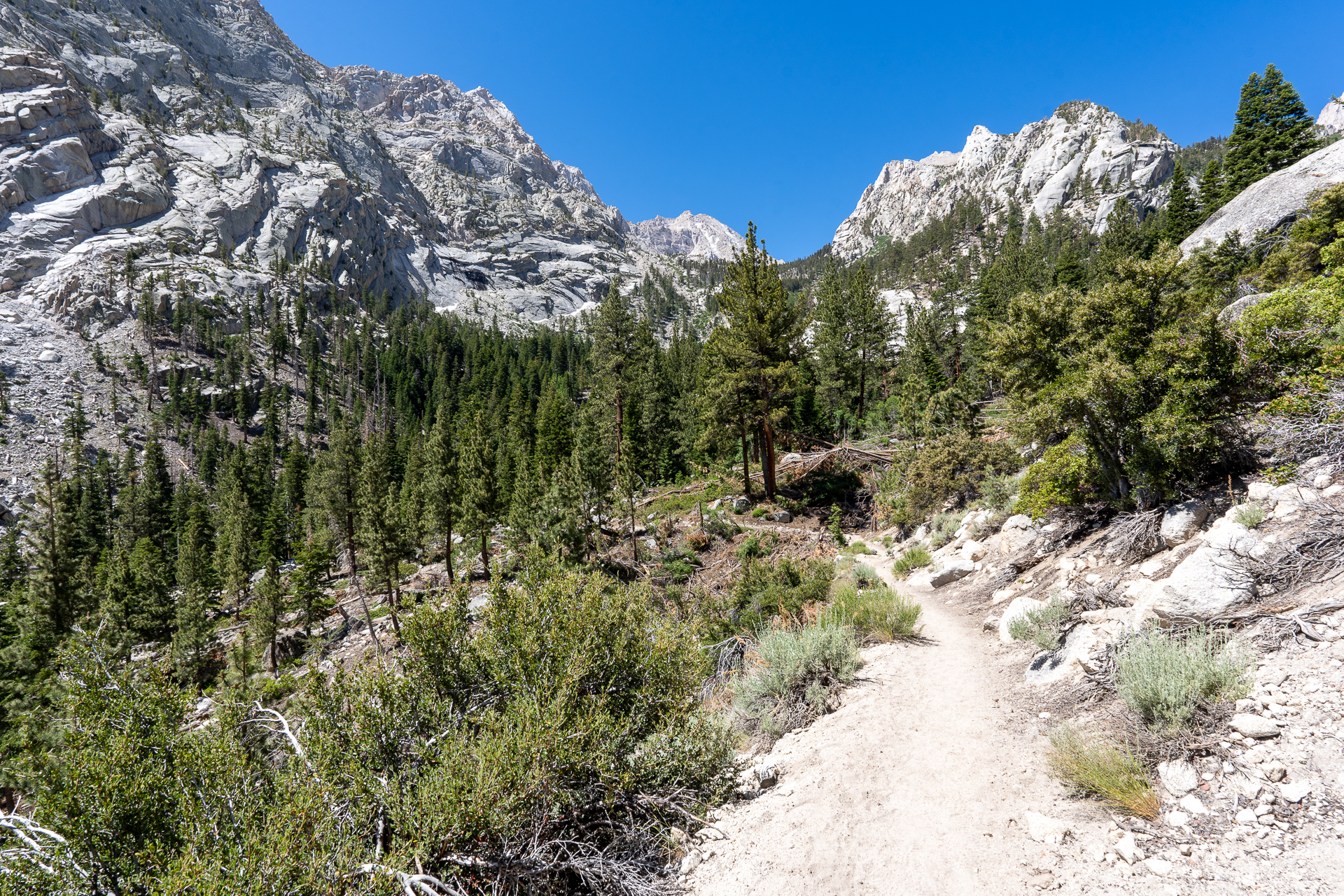
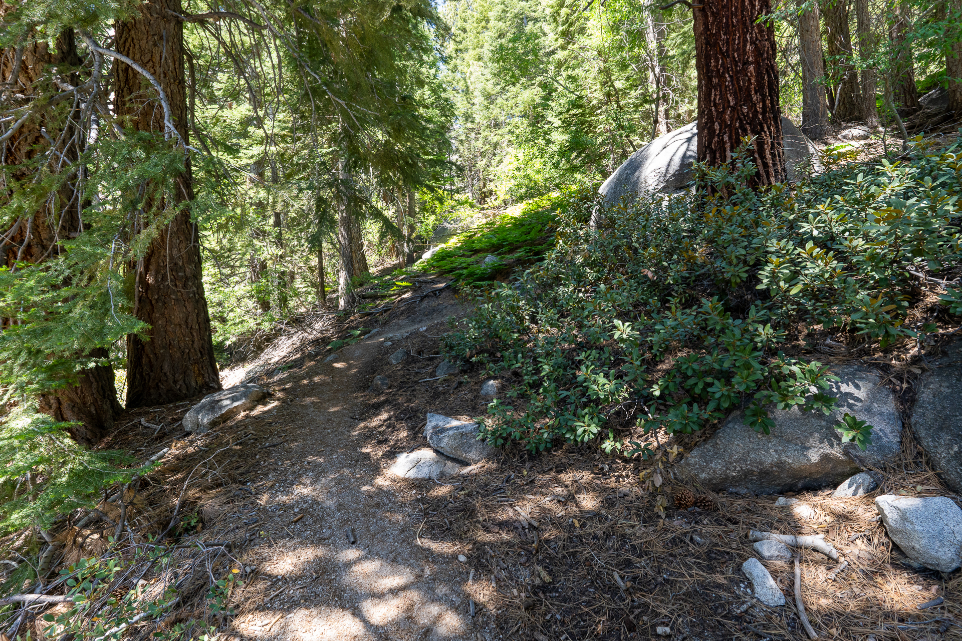
Route typeLoop
Quality6/10
Vehicle to trailheadCar
RegionCentral Sierra Nevada
Loading peaks...
1
2
3
Jun 18, 2024John Muir Wilderness (USFS), CA