Cloudripper via West Chute
John Muir Wilderness, USFS, CAInfo
Distance9.5 mi
Elevation gain4,200 ft
CruxClass 3
Route typeLoop
Duration7 hr
Quality7/10
Vehicle to trailheadCar
Loading peaks...
1
2
3
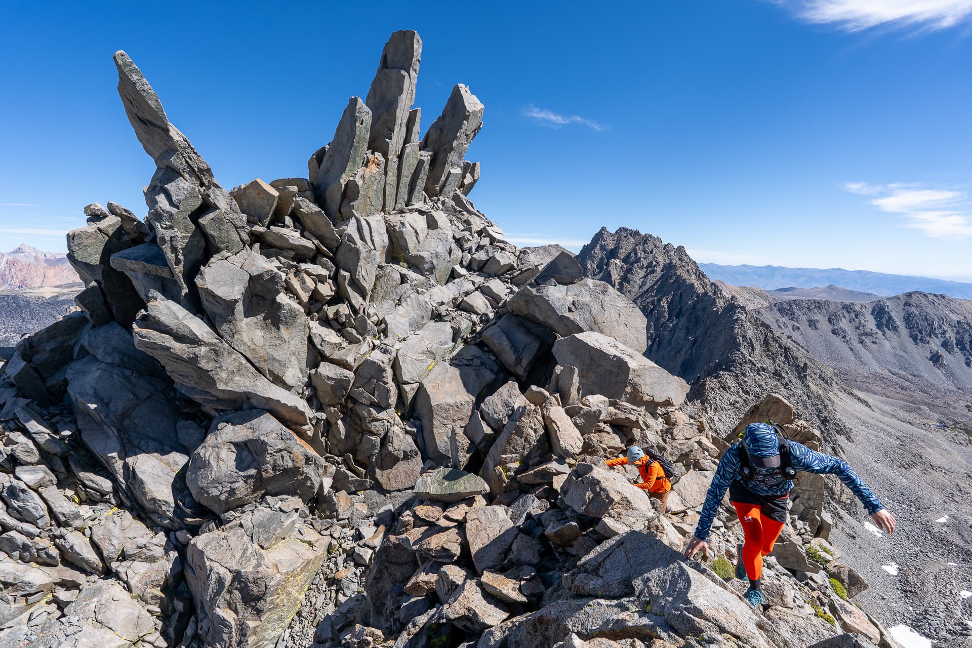
Cloudripper is the high point of the Inconsolable Range, a subrange of the Palisades stretching 14 miles from the Buttermilks in the north to Mount Agassiz in the south. The standard route climbs the gentle north slopes from Green Lake, up and over the intervening Vagabond Peak. This would serve as my descent route. For the ascent, I took a more direct route up a steep chute on the west face from the uppermost Chocolate Lake.


