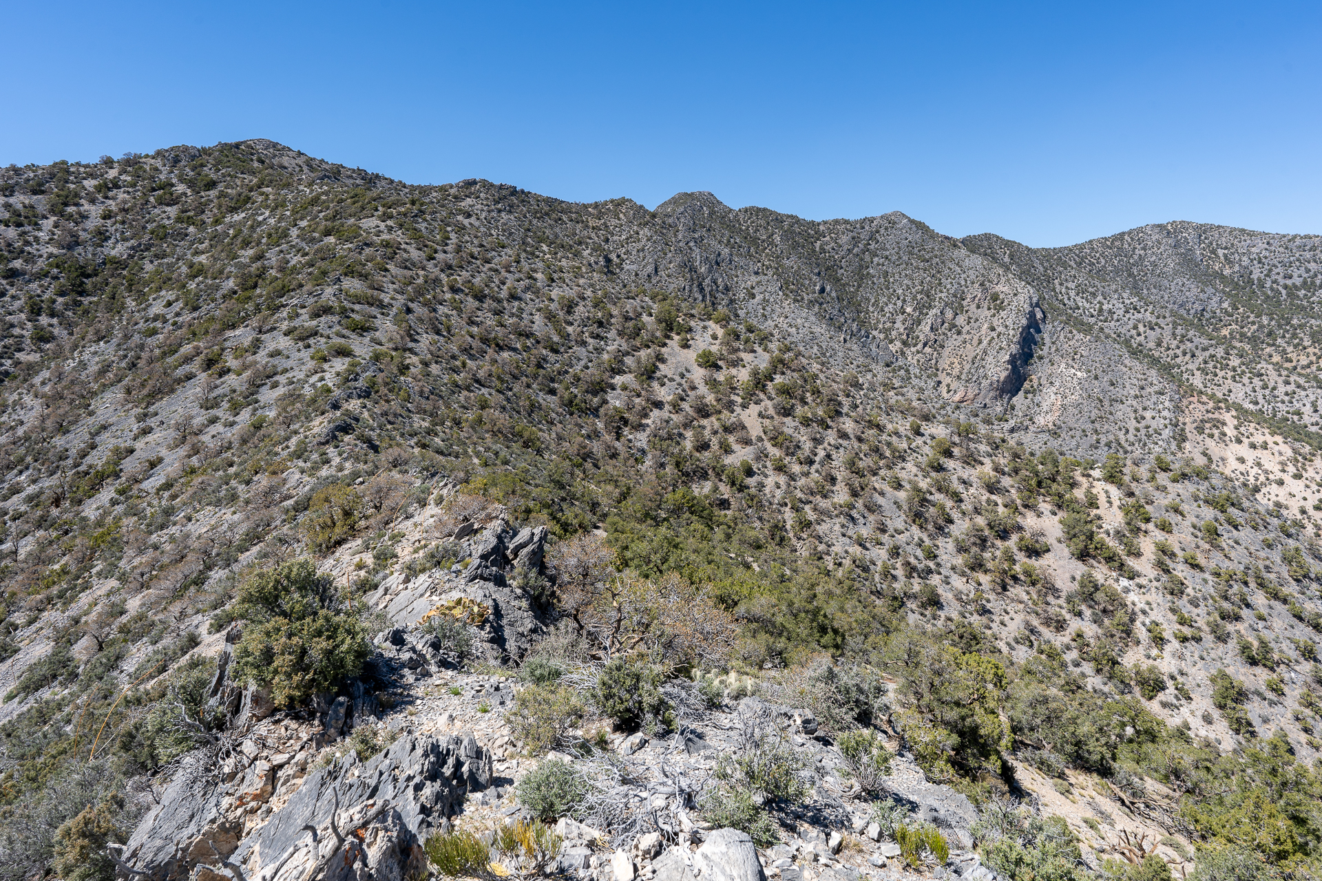
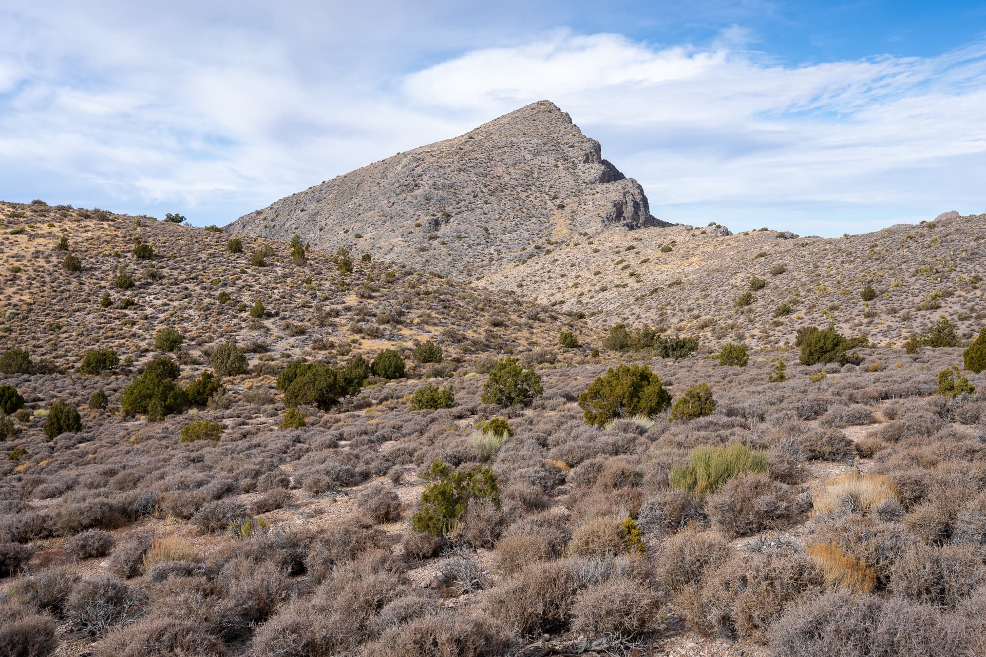
Starting up a canyon from Clark Mountain Camp.Following a short-lived use trail.Climbing up the right side of the canyon.Approaching a dry fall (center) mentioned in the DPS guide.Above the dry fall, dropping into the wash below.Climbing a southern spur of Clark Mountain.View back.Approaching the base of a large cliff band.View back.Aiming for the notch to the climber's left of the gendarme.30-foot Class 3 pitch to gain the east ridge at the notch.View back.Continuing west along the ridge. Class 2 scramble on excellent limestone.View back down the Clark Mountain's east ridge. Gaining the ridge too far to the east would result in a reportedly fun (if not nerve-racking) Class 4 knife's edge traverse.Following a ramp on the south side of the ridge.View back.Clark Mountain summit visible ahead.Easy terrain along the ridge crest.View north toward Mesquite Valley.View back.Approaching Clark Mountain's summit.Final climb to the summit.Clark Mountain summit. View east.View west. Avawatz Peaks is on the right.Starting down the south ridge.View down a westerly canyon. I spotted a family of mule deer (not photographed) navigating the complex cliff system below.Following a use trail which keeps to the west side of the ridge.View back toward the summit.Contouring around a prominence (right, out of frame).View back.View back as the ridge bends east.View back.View north toward Clark Mountain.Budding cactus.Veering north toward Clark Mountain Camp.Briefly joining the road to complete the loop.