Beartrap Bluff

Sespe Wilderness, CA

Info

Distance
11.3 mi
Elevation gain
3,500 ft
Route type
Out & back
Duration
4.5 hr
Crux
Class 2
Quality
6/10
Vehicle type
Car

Peaks bagged

1
Beartrap Bluff
HPS
6,196 ft / Rise 137 ft

Report

Trip report photo for Beartrap Bluff
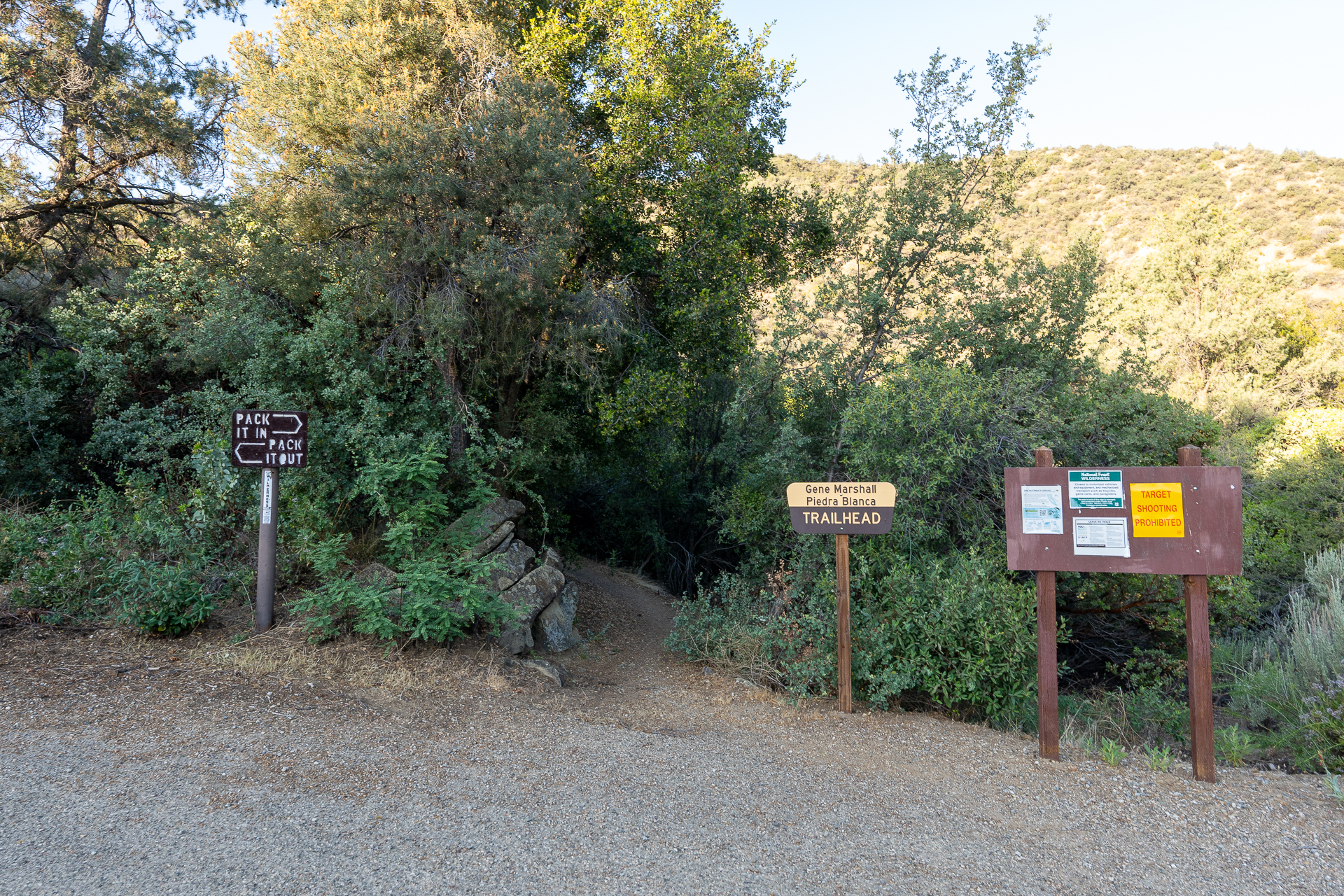
Reyes Creek Trailhead.
Trip report photo for Beartrap Bluff
Entering the Sespe Wilderness.
Trip report photo for Beartrap Bluff
Headed south along the Piedra Blanca Trail.
Trip report photo for Beartrap Bluff
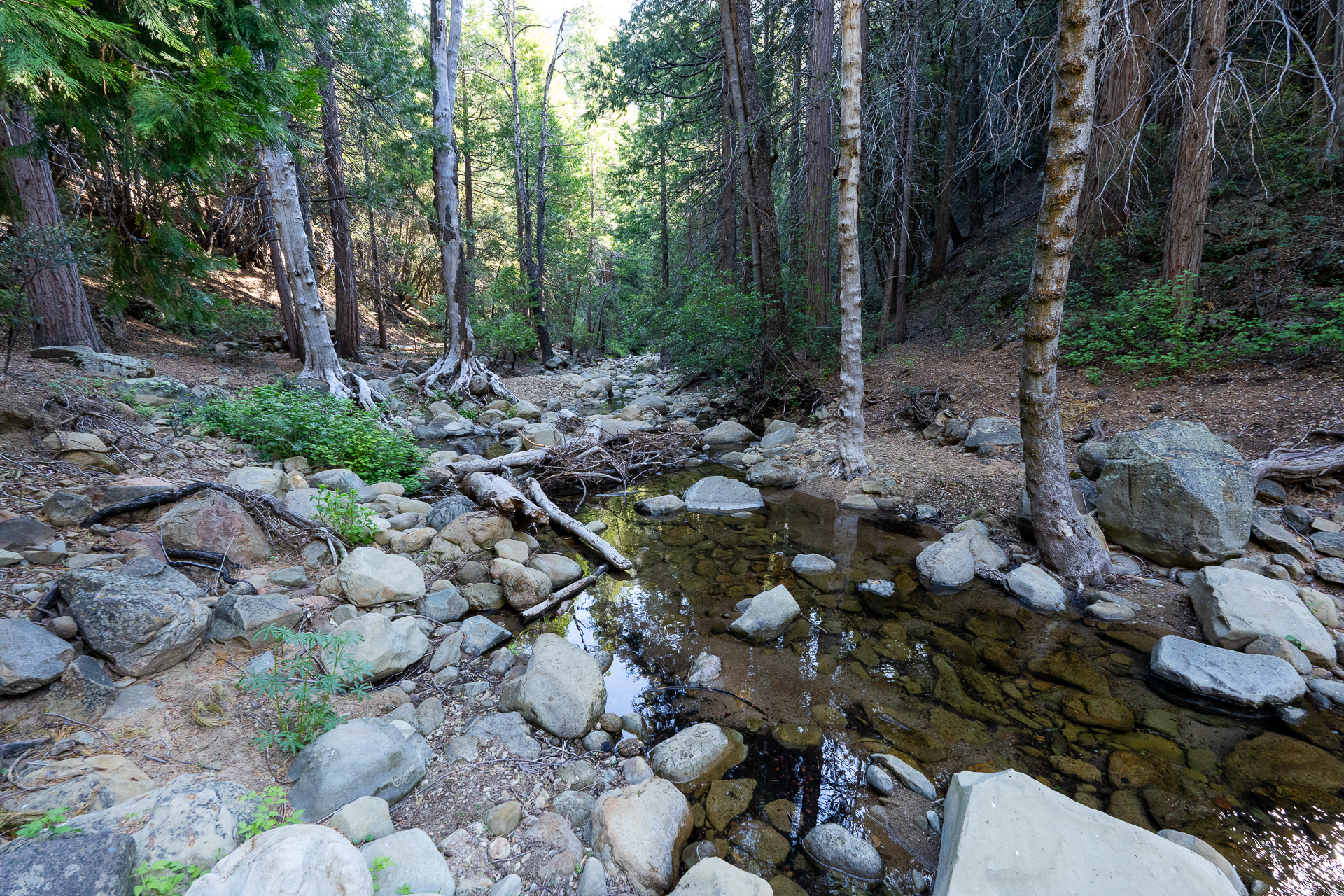
Brush encroaches the trail near a dry creek crossing.
Trip report photo for Beartrap Bluff
From a minor saddle, Beartrap Bluff comes into view.
Trip report photo for Beartrap Bluff
Passing a campsite near the Reyes Creek crossing.
Trip report photo for Beartrap Bluff
After the Reyes Creek crossing, passing a second campsite (complete with a tree swing).
Trip report photo for Beartrap Bluff
Contouring the south side of a ridge that separates Reyes Creek and Beartrap Creek.
Trip report photo for Beartrap Bluff
Crossing over to the north side of the ridge.
Trip report photo for Beartrap Bluff
Closeup of the slabs on Beartrap Bluff's south face.
Trip report photo for Beartrap Bluff
Dropping down to Beartrap Creek.
Trip report photo for Beartrap Bluff
Leaving the Piedra Blanca Trail just before it crosses Beartrap Creek.
Trip report photo for Beartrap Bluff
Passing a couple campsites on the west bank before crossing the creek.
Trip report photo for Beartrap Bluff
Navigating to a northwesterly gully.
Trip report photo for Beartrap Bluff
Starting up the gully.
Trip report photo for Beartrap Bluff
Class 2 inside the gully.
Trip report photo for Beartrap Bluff
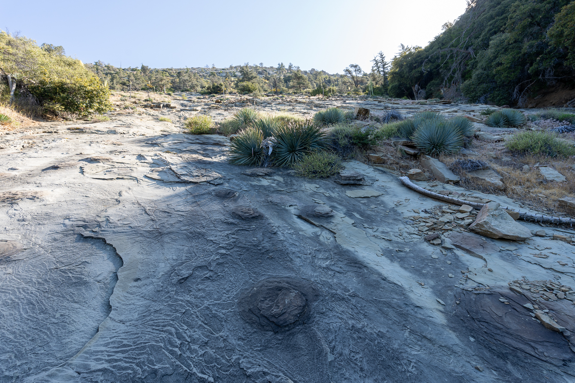
The gully opens up to this massive, 200-foot slab.
Trip report photo for Beartrap Bluff
View back down the slab.
Trip report photo for Beartrap Bluff
After reaching the top of the slab, I contoured east below a band of brush, reentering the gully.
Trip report photo for Beartrap Bluff
Class 2 obstacle. Can be bypassed to the climber's right.
Trip report photo for Beartrap Bluff
View back.
Trip report photo for Beartrap Bluff
Following a drainage at the top of the gully.
Trip report photo for Beartrap Bluff
Flat, open terrain. A series of cairns indicate a route along the sandy washes.
Trip report photo for Beartrap Bluff
Class 2.
Trip report photo for Beartrap Bluff
View back.
Trip report photo for Beartrap Bluff
The route continues to the left of this pinnacle.
Trip report photo for Beartrap Bluff
Approaching Beartrap Bluff's summit block.
Trip report photo for Beartrap Bluff
Starting up the south face of the summit block. Class 2.
Trip report photo for Beartrap Bluff
Beartrap Bluff summit. View south toward Reyes Peak (right) and Haddock Mountain (left of center).
Trip report photo for Beartrap Bluff
View west.
Trip report photo for Beartrap Bluff
View north.
Trip report photo for Beartrap Bluff
Closeup of the Cuyama Badlands.

The following photos were taken on the return, when the lighting on Beartrap Bluff was a bit more favorable.
Trip report photo for Beartrap Bluff
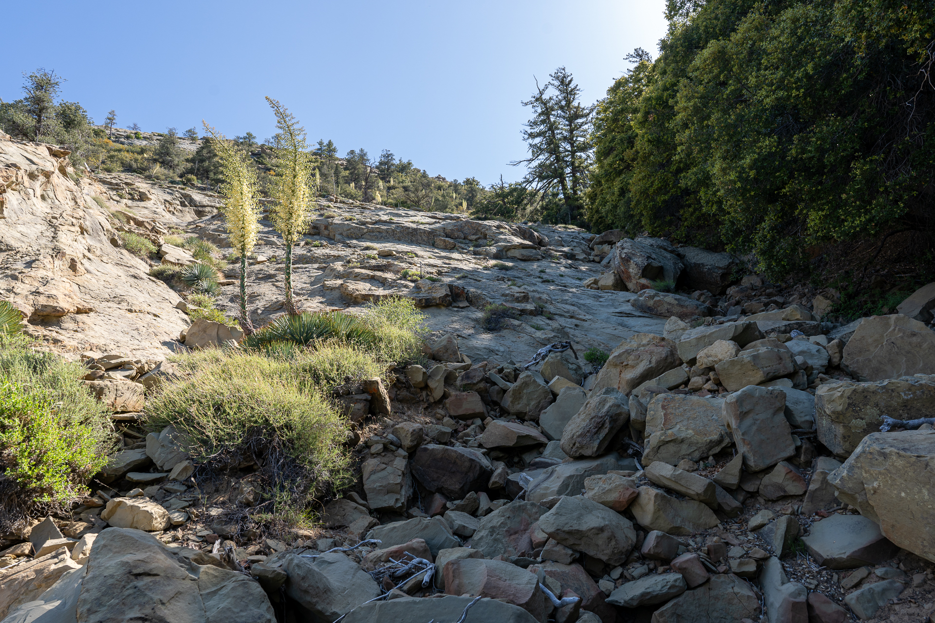
When descending the slabs, I stayed closer to the gully. Here's a view back up.
Trip report photo for Beartrap Bluff
Back on the Piedra Blanca Trail, ascending from Beartrap Creek. Beartrap Bluff visible on the right.
Trip report photo for Beartrap Bluff
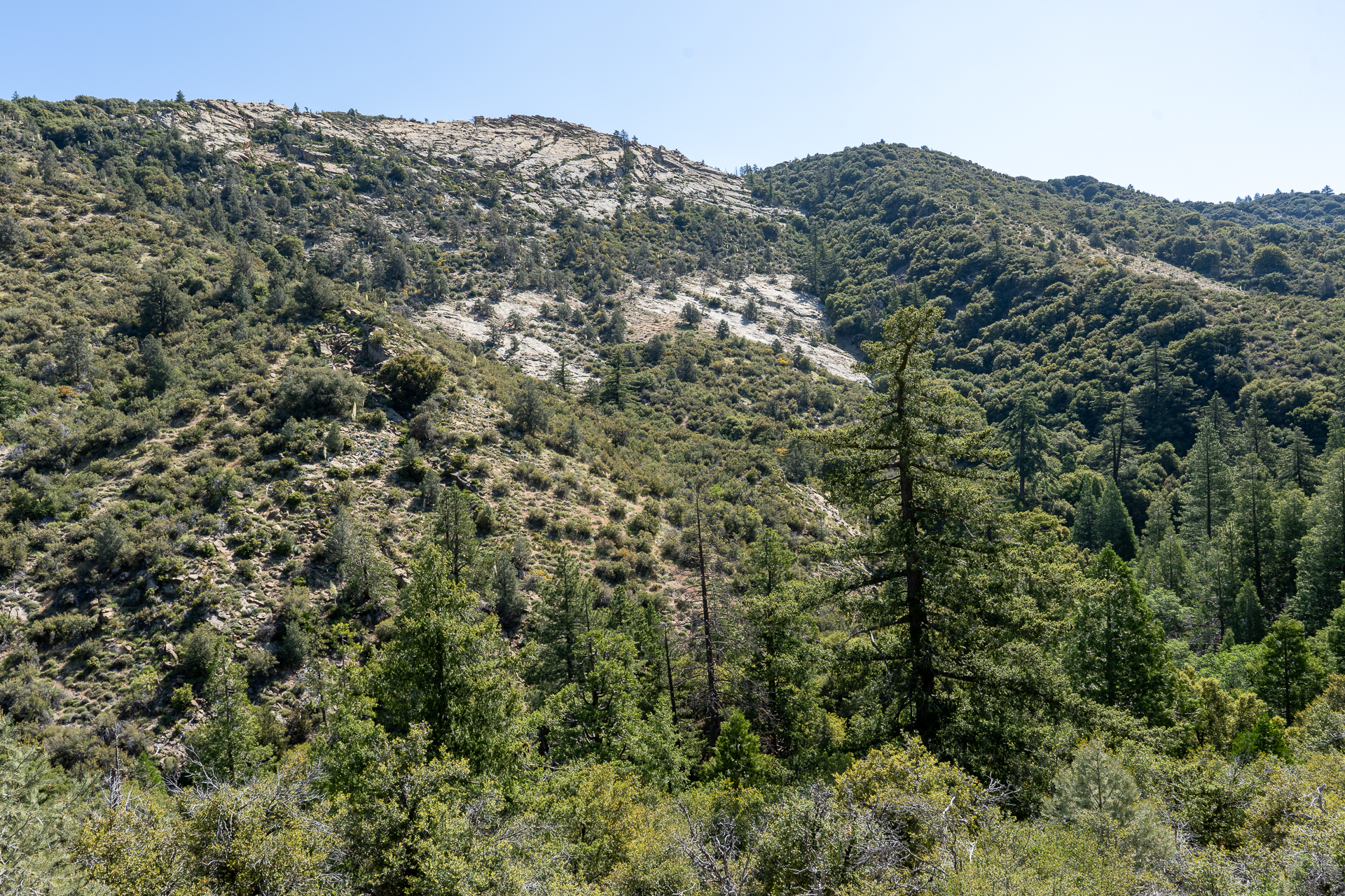
Closeup on Beartrap Bluff's south face in better light.
Trip report photo for Beartrap Bluff
Returning to Reyes Creek before making the final climb to the saddle, left of center.
Trip report photo for Beartrap Bluff
From the saddle, final view back toward Beartrap Bluff.

Nearby trips

San Guillermo Mountain
2.4 mi900 ft1 hr
Thorn Point
Thorn Point
10.7 mi2,300 ft3.5 hr